


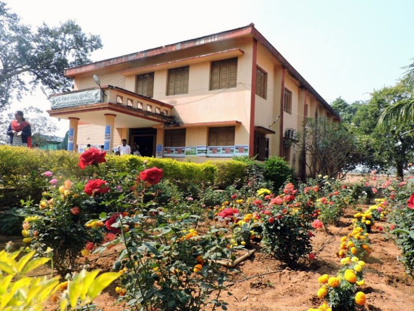
 Krishi Vigyan Kendra, Subarnapur was established by ICAR in 2005 under the control of OUAT. It is bounded on the north by Sambalpur district, on the south and the South–East by Sonepur District, on the East by Rairakhol sub–division of Sambalpur District and on the West by Balangir district.Krishi Vigyan Kendra (Farm Science Centre), Sonepur was established by ICAR in 1st July 2005 under the control of OUAT at Paljhar farm. KVK serves as the knowledge hub and resource centre of agricultural technologies for the farmers in the district. It operates as per the mandates of ICAR for the upliftment of socio-economic condition of the farming community. KVK lies between 20043’51.69 North to 20045’16.66 North Latitude and 84013’52.22 East to 84013’56.27 EastLongitude. The district is bounded by River Mahanadi &Angul District to the North, Kandhamal District to the South, Nayagarh District to the East and River Tel &Subarnapur District to the West, covering a geographical area of 3098 sq. km, the district lies between 200 22’ N to 200 50’ North Latitude and 830 34’E to 84049’ East Longitude.
Subarnapur is known as Second Varanasi of India for its cluster of temples having architectural importance and tantric mystiques. It is bounded on the north by Sambalpur district, on the south and the South–East by Sonepur District, on the East by Rairakhol sub–division of Sambalpur District and on the West by Balangir district. The district lies 20o30 N to 21o11 N latitude and 83o27 E to 84o16 E longitude. The district spreads over an area of 2284.89 Sq. KM. Subarnapur is also famous for handlooms, prawns, terracotta etc.